We are measuring changes in the coast, the size of the reef islands, and the amount of vegetation on the beach of Surfside Beach, Aruba, using Geographic Information Systems, specifically Google Earth.
Explanation of experience with GIS
Exploring replicable methods for coastal environmental monitoring
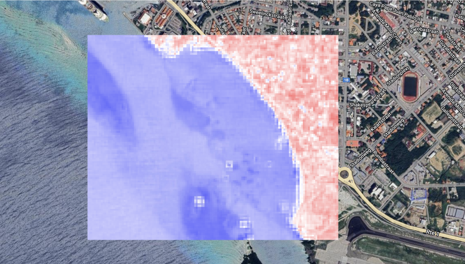
We are measuring changes in the coast, the size of the reef islands, and the amount of vegetation on the beach of Surfside Beach, Aruba, using Geographic Information Systems, specifically Google Earth.
Explanation of experience with GIS