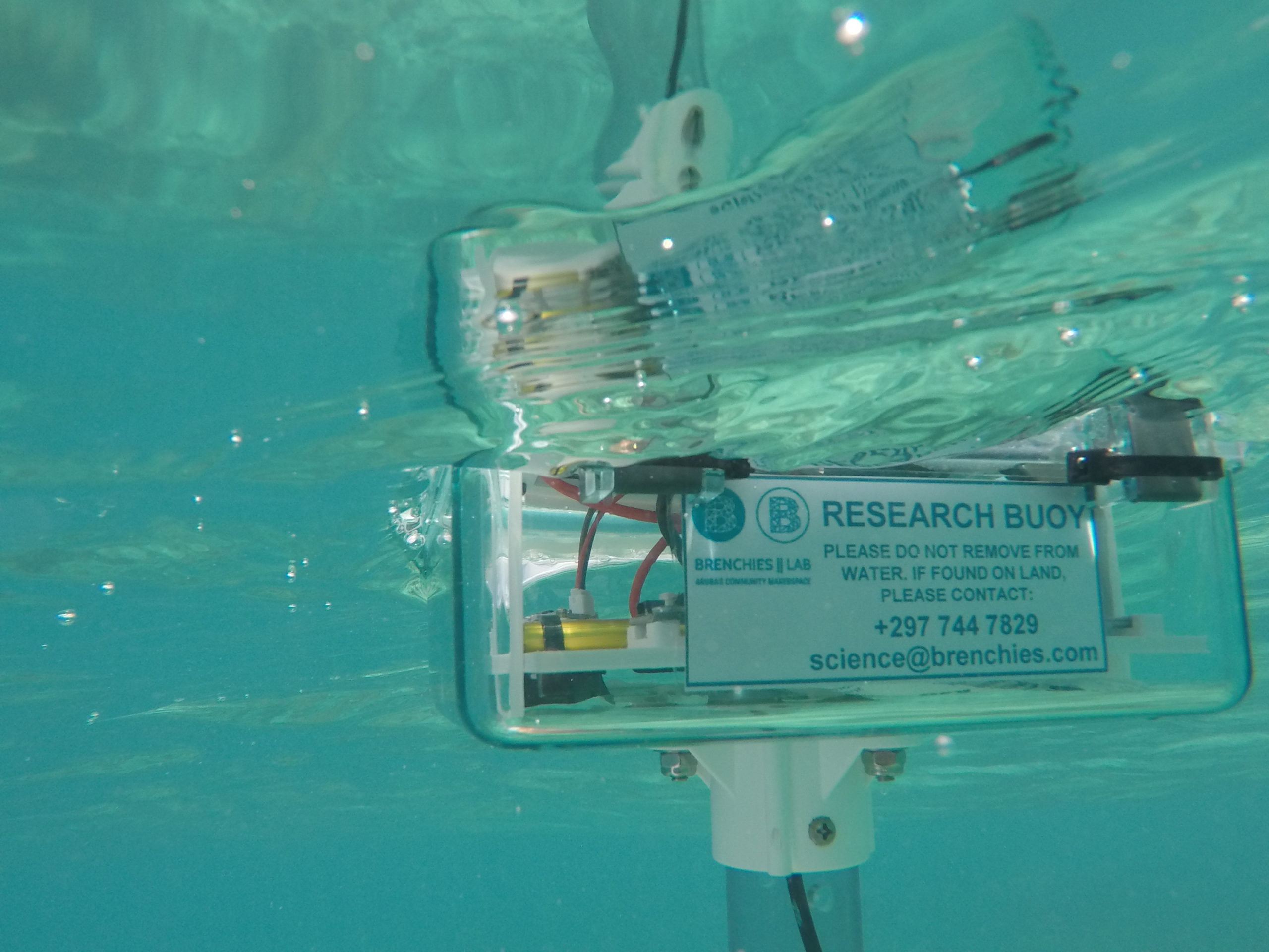
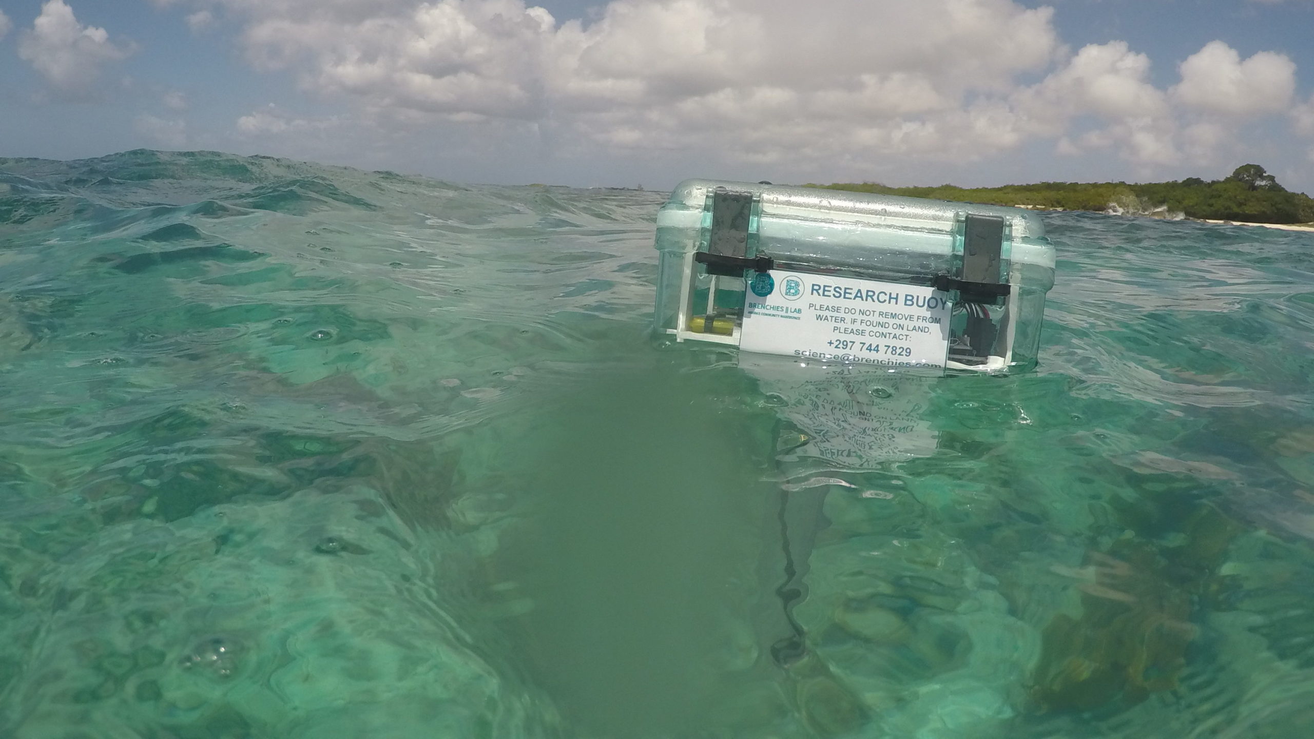
In collaboration with Maker Buoy, we developed a simple process for tracking ocean currents near the shore. With a few different options, and continuing enthusiasm from citizen ocean scientists, this will help map the near-shore ocean currents around Aruba, and provide input for other islands looking to do the same. If you’re interested in borrowing our buoy, let us know and we’ll set you up to take it out for some current mapping.
Guide: Collecting Ocean Current Data
Code: Maker Buoy on GitHub
Notes: Updates from our work sessions
Options include:
- Monitor from shore, boat, or swimming
- Tethered or free floating
Our working configurations are:
- Maker Buoy tethered to fishing line for shore-based current tracking
- Maker Buoy free floating with kayak for retrieval