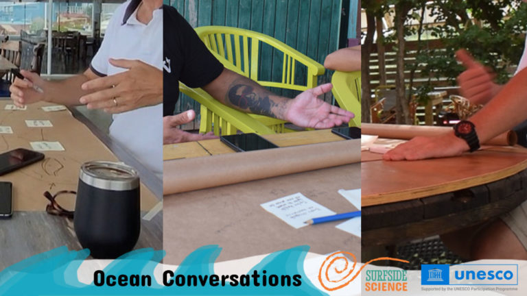
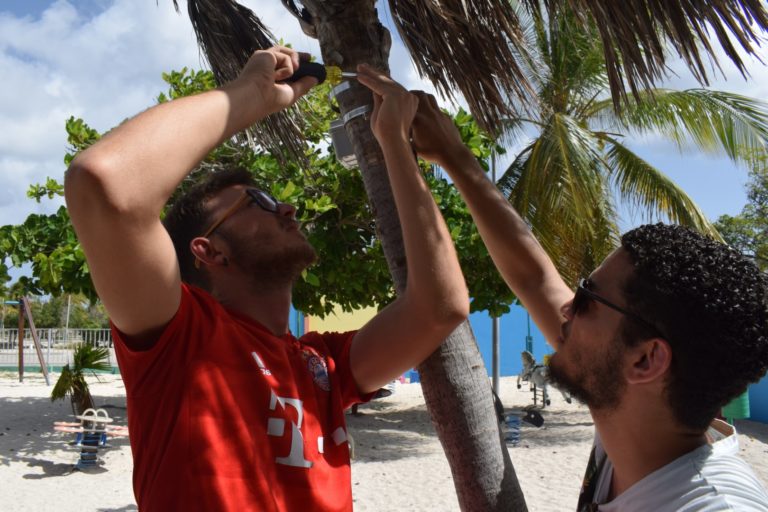
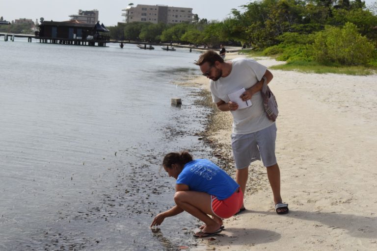
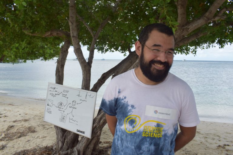
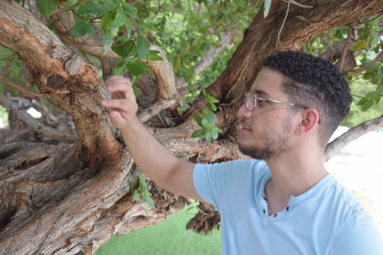
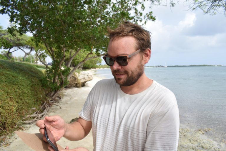
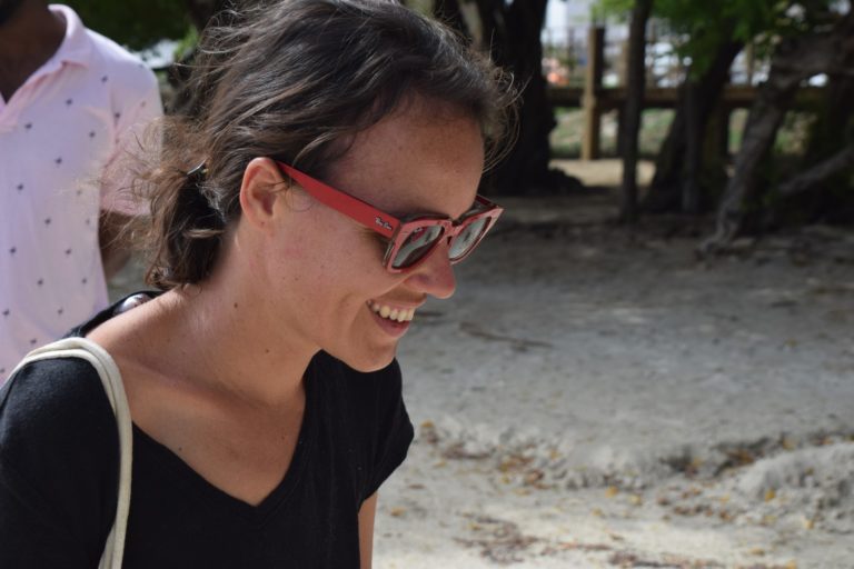
We have been speaking with […]
Author: tony
Guia di Mapeo
Un bista general cortico di […]
Calidad di awa
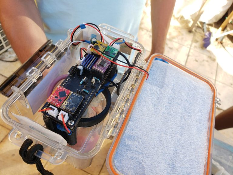
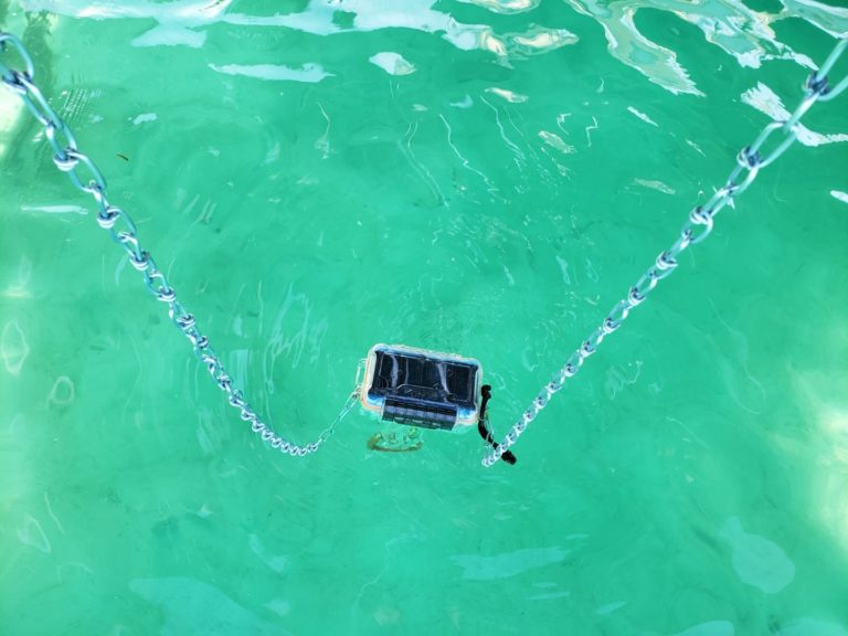
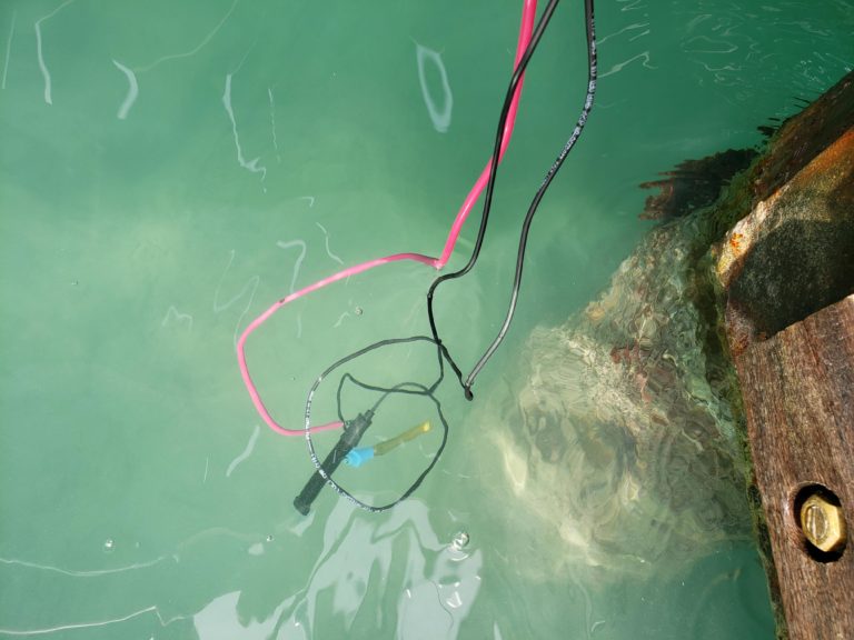
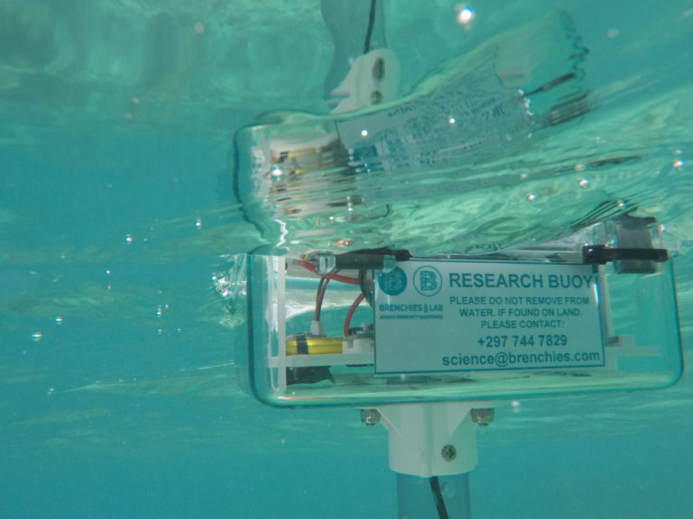
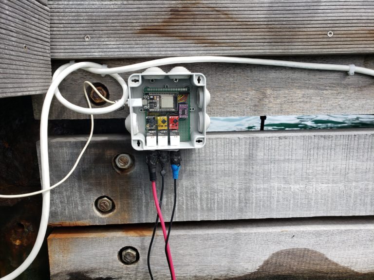
The water quality monitor collects […]
Mapeo di Bao Awa
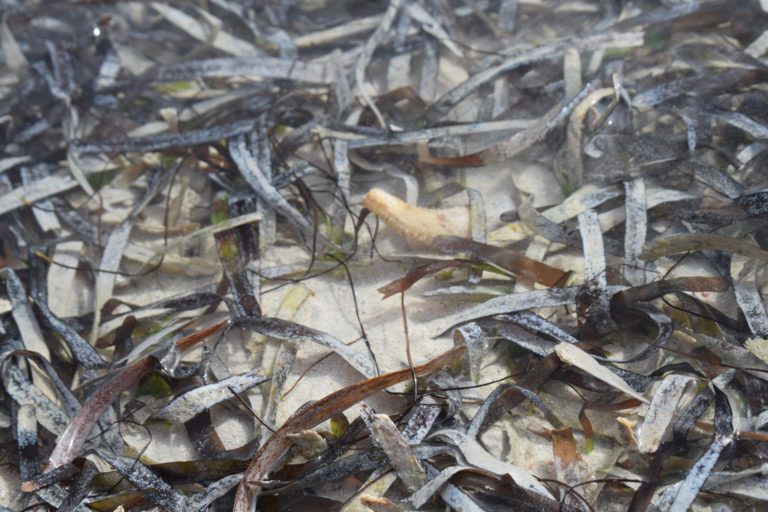
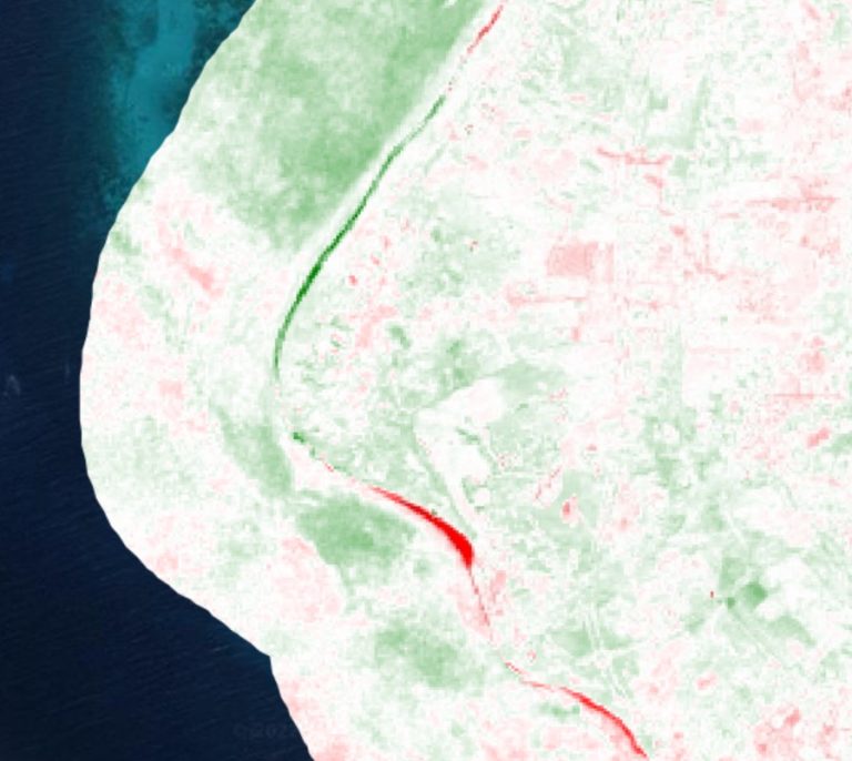
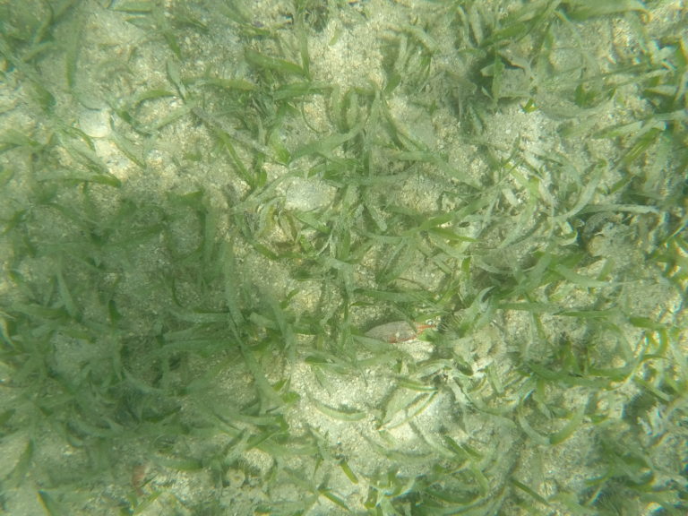
Midi vegetacion bao awa Nos […]
Rif
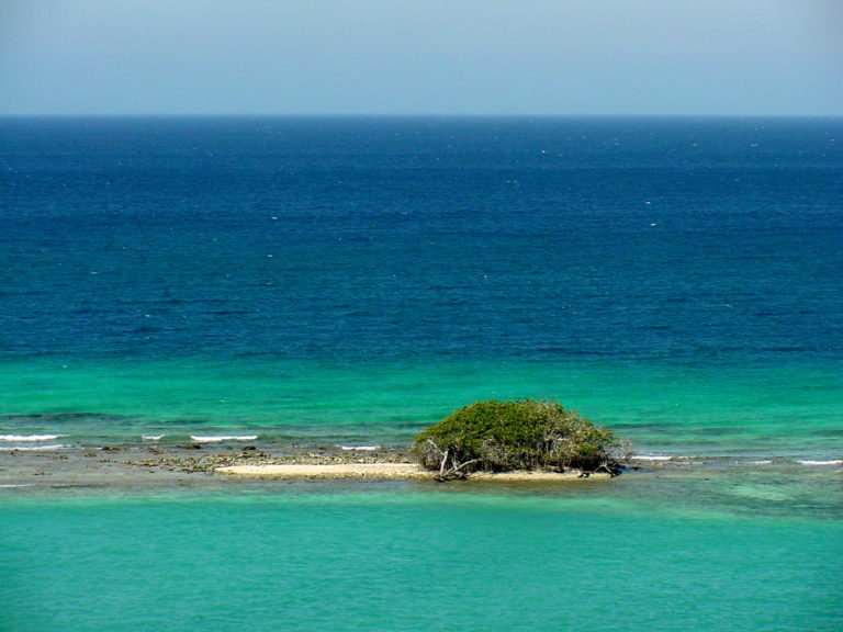
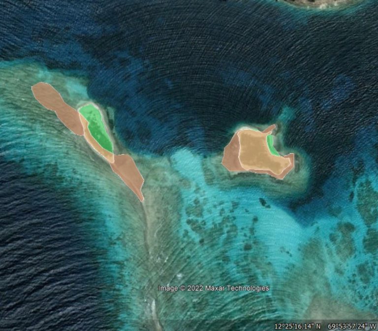
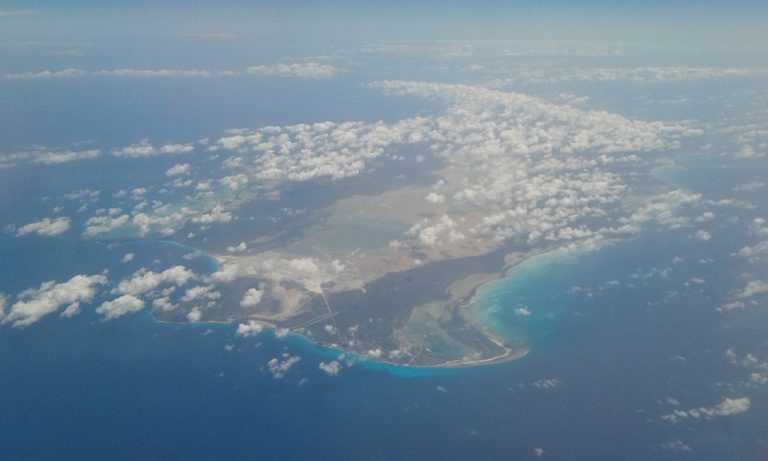
Reef islands are important coastal […]
Pintura
Por download tur pintura por […]
Actualisá di April
Validacion di costa, Local2030 Hawaii y forsa di voluntario!
Summer wrap-up
Den zomer nos a logra […]
August update
Manera probablemente bo a scucha […]
Press Release
Bou proyecto Surfside Science un team di profesional y studiante local lo test y desaroya metodo pa monitor medio ambiente di nos costa pa un aña largo na Surfside Bay.
Ocean acidity
With help from interns, workshop […]
Air quality
We’re prototyping affordable open source […]
Ocean currents
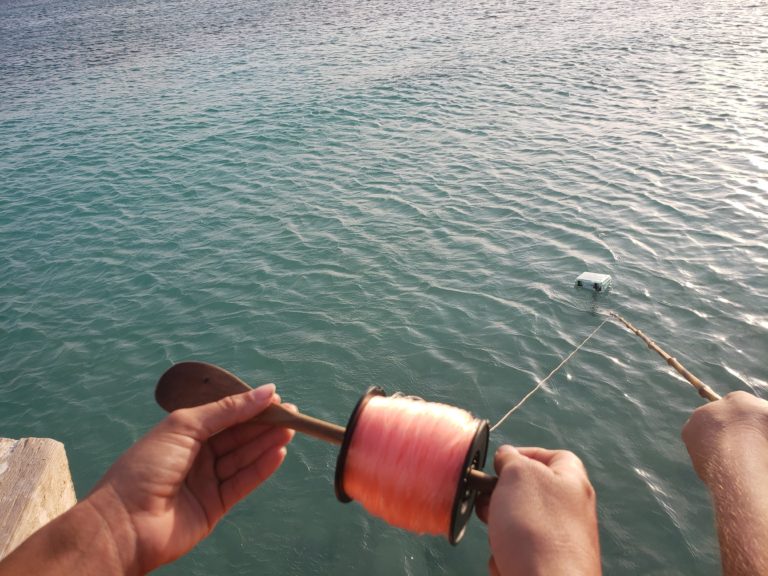
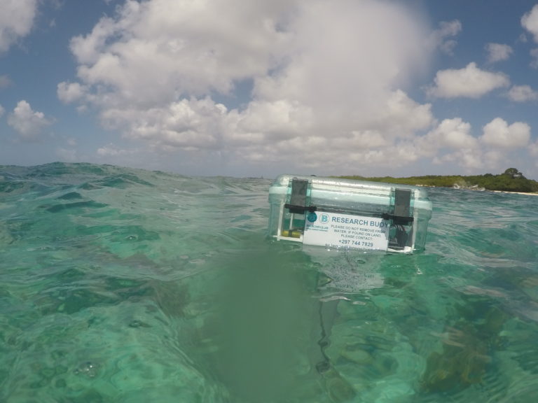
In collaboration with Maker Buoy, […]
Beach plastics
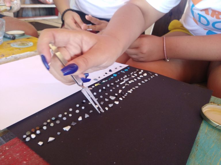
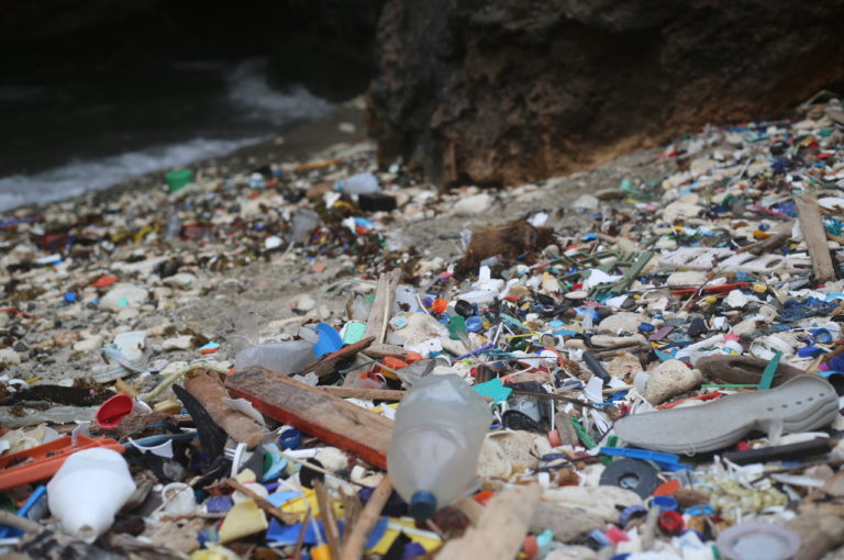
Any beach cleanup can be […]
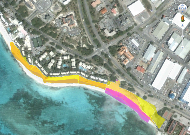
Beach Mapping
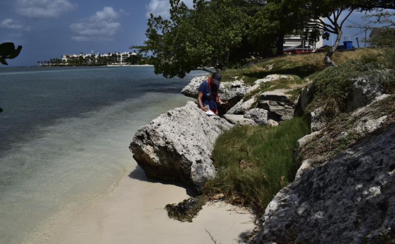
The aim of this work […]
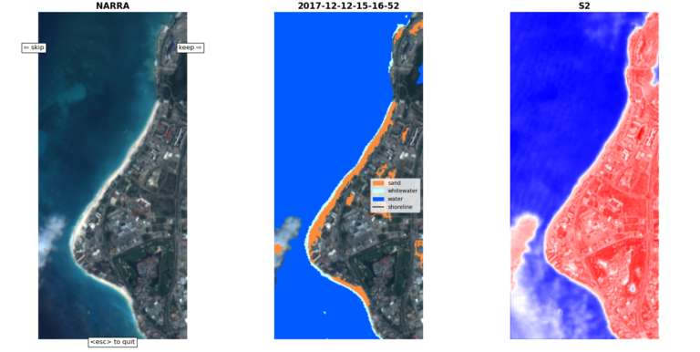
Sea level and coastal change
Through explorations in open science […]
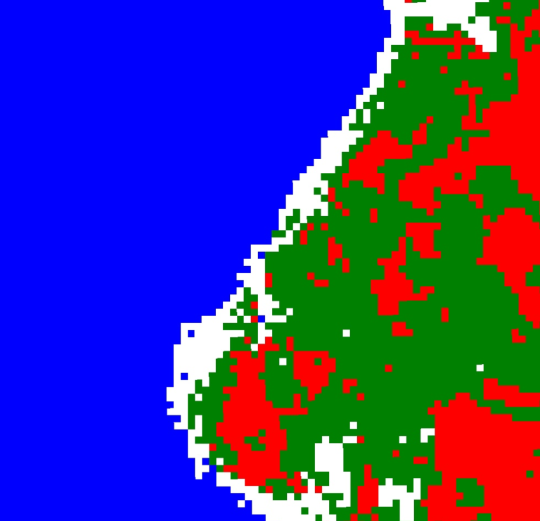
Vegetation index
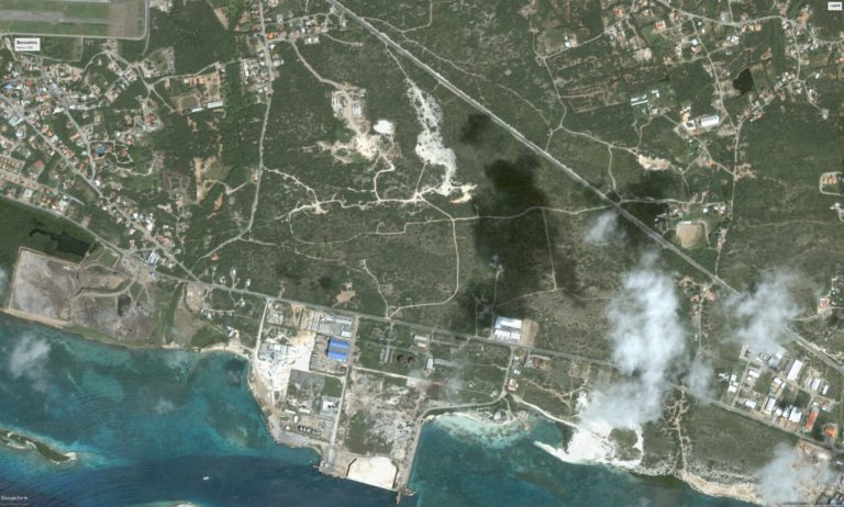
Using satellite images, we can […]
Marine mapping
Using satellites and drones to map the shallow sea
Alexandra Ulacio
Water quality monitoring intern BSc […]
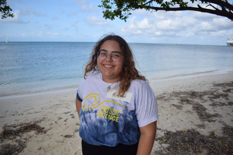
Raydeline Wever
Remote sensing intern BSc student, […]
Ian Canninga
Air quality monitoring intern automation […]
Jeremy Granadillo
Data coordinator Software engineer Jeremy […]
Manuel Rojas
Water quality engineer undergraduate electrical […]
Suyin Ridderstaat
Media coordinator BA. Marketing & […]
Tatiana Becker
Validation coordinator MSc. Marine Ecology […]
Sean Brokke
Air quality engineer Automation technician, […]
Tony Sevold
Research coordinator MSc. in Environmental […]
Christie Mettes
Project coordinator MSc. in environmental […]
Habri Ciencia
This is a project started […]
Build an Acidity Monitoring Station
Make sure someone in your […]
Ocean acidity sessions
Data feed [not currently reporting]: […]
Collect Ocean Current Data
Make sure someone in your […]
Ocean current sessions
In our 2021-2022 citizen science […]
Macroplastics protocol
Adapted from Guideline for monitoring […]
Microplastics protocol
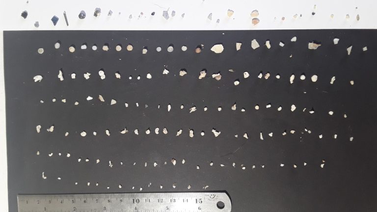
Adapted from Arocha’s Guidelines for […]
Mapping Changes in Beaches and Reef Islands
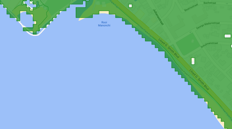
We will be using Google […]
Mapeo di Beachnan i Rif
E meta di e trabao […]
Coastal GIS Sessions
The aim of this work […]
Mapping Coastal Change on Islands
Mapping island coastal change using […]
Amaryllis Lee
Intern, Underwater imagery analysis BSc. […]
